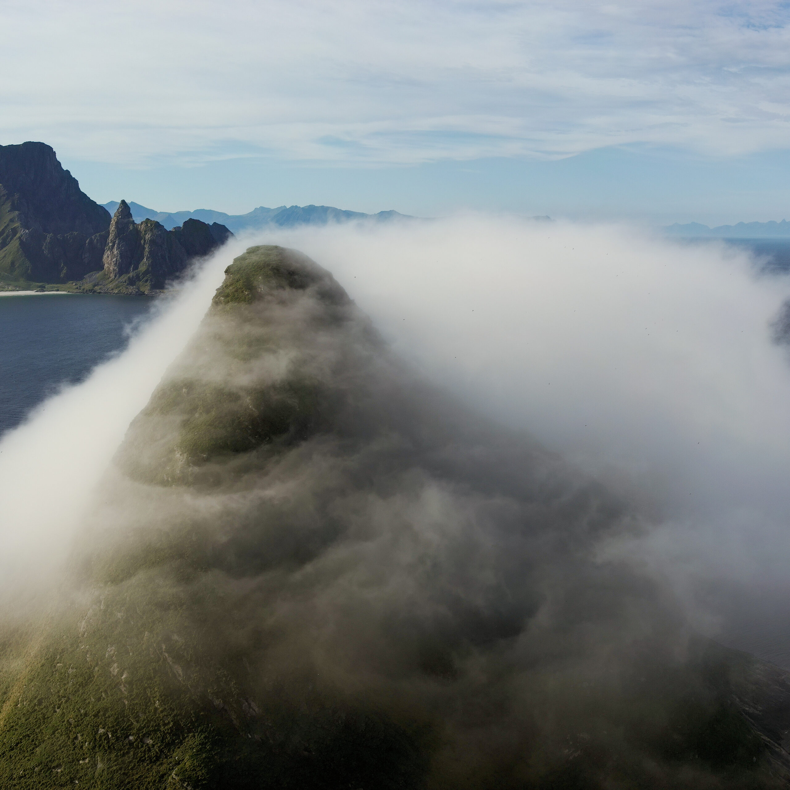
Our drone based Commercial ISR services gives you instant visibility to detailed and time critical information, also encompassing real-time mapping and geospatial intelligence. We utilise inhouse developed AI augmented solutions combined with edge computing. This enables powerful analysing capabilities.
We offer our tailored commercial ISR solutions both for governmental agencies and the corporate sector, including industries such as public safety, petroleum, environmental protection and more.
Our advanced drone fleet and skilled operators ensure accurate information and insights to assist you in making informed decisions.
You are the expert
- let us support you and free you up to do what you do best
Are you an engineer, emergency response officer, building inspector or photographer? Do you have an expertise and find the new droneregulations, procedures and development overwhelming?
Through our Drone Support we will decipher this minefield and get you into the air legally
- We provide you with the knowledge and safety you need, so that you can focus on your job and the flying itself.
- We develop procedures and the necessary documentation relative to your demands.
- We offer education and training
- We deliver support and safety management systems.
Drone Support
Safety and knowledge to you!
