Geospatial Operations at Tiepoint refers to our full range of drone-based data collection and analysis services — from mapping and surveying to structural inspection, terrain modeling, and AI-powered insight generation. Each client and mission is unique, and our services are tailored accordingly. Whether you need a complete end-to-end solution or just one component, we scale and adapt to your operational requirements.
This page provides an overview of the capabilities available through our Geospatial Operations offering — a modular set of tools and workflows designed to help you capture, analyze, and act on spatial data with confidence.
Drone-Based Mapping and Surveying
We provide high-precision aerial mapping and surveying services using electric drones equipped with RGB, thermal, multispectral, and LIDAR sensors. Our platforms are capable of capturing large and complex environments with accuracy and repeatability — from urban developments and coastlines to offshore infrastructure and remote terrain.
We support orthophoto generation, terrain modeling, elevation profiling, and volume analysis, offering a fast and environmentally friendly alternative to traditional survey methods. Whether you’re working on infrastructure planning, site monitoring, or environmental assessment, our drones help you cover more ground in less time.
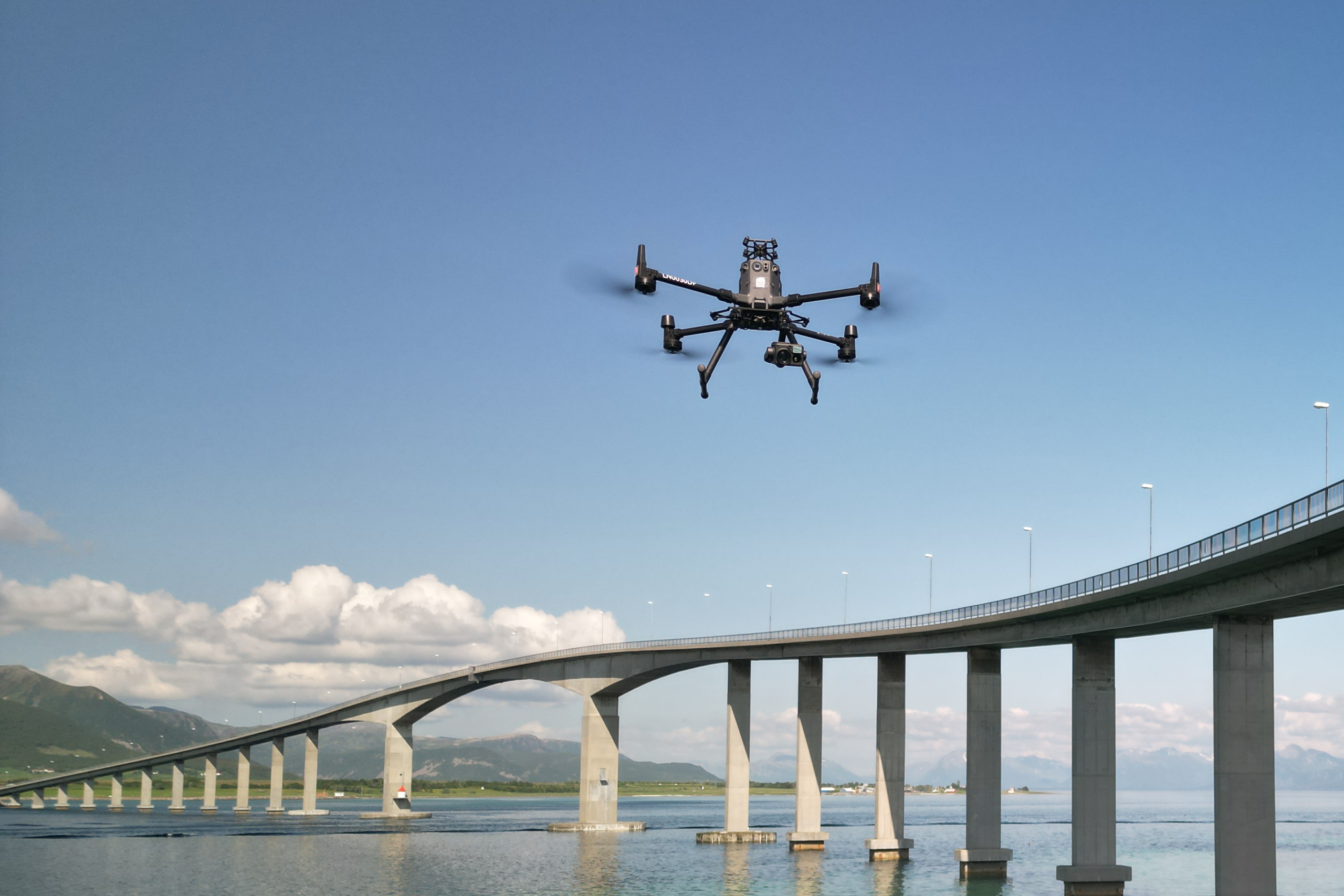
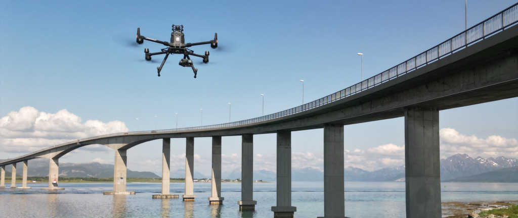
Infrastructure Inspection by Drone
Our inspection services are tailored for clients who need to monitor the condition of infrastructure safely and efficiently. Using stabilized camera platforms and high-resolution sensors, our drones perform close-range inspections of bridges, buildings, towers, pipelines, wind turbines, and more — even in challenging or hazardous environments.
We also offer automated defect detection using AI, helping to identify structural risks such as corrosion, misalignment, and wear. All inspection data is processed into actionable reports that support predictive maintenance, compliance checks, and safety assurance.
Environmental Monitoring & Landscape Modeling
Environmental awareness is a growing priority in many of the sectors we serve. Our drone systems are used to map coastlines, wetlands, forests, offshore zones, and other natural landscapes — enabling early detection of erosion, vegetation change, pollution, or spill events.
In environmental response scenarios, such as oil spill preparedness, we deliver real-time spatial data that supports both planning and live operations. Our quiet, electric drones allow for minimal environmental disturbance, making them ideal for protected areas and sensitive ecosystems.
3D Modeling & Visualization
We create highly accurate and immersive 3D models of terrain, infrastructure, buildings, and industrial assets. These models can be used for measurement, design planning, stakeholder presentations, and integration with digital twin environments.
Our 3D outputs are compatible with BIM, CAD, GIS, and VR/AR platforms, helping you move from raw data to interactive insight. Whether you’re managing a construction site, preserving a cultural heritage site, or evaluating a future project area, our 3D modeling services make your data tangible and explorable.
AI-Powered Data Processing
Behind every successful mission is a robust data pipeline. Our in-house processing team combines traditional geospatial analysis with machine learning tools to extract the information you need from drone data quickly and reliably.
We offer object detection, asset tagging, measurement automation, change detection, and more. Our AI models help reduce processing time, increase consistency, and surface hidden patterns that might otherwise be missed in complex datasets.
Sustainable Flight Technology
All our operations are carried out using electric drones. This allows us to deliver professional-grade aerial services with zero fuel use and near-silent operation — especially important in urban environments, natural reserves, or offshore platforms.
By replacing helicopter flyovers, boat-based surveying, and large vehicle inspections with lightweight aerial systems, we help clients reduce their carbon footprint while increasing agility and reducing operational risk.
Tailored to Your Mission
Geospatial Operations is not a fixed product — it’s a framework. Our clients range from infrastructure developers and emergency services to government agencies and environmental NGOs. Some request a one-time 3D model, others need ongoing coastal monitoring. We adapt to both.
No matter the scale or complexity of your project, our team will help you design a drone-based workflow that delivers exactly what you need — whether it’s raw data, processed visuals, or full analytical reporting. We take pride in making spatial insight accessible, sustainable, and reliable.
Work With Tiepoint
Ready to explore what Geospatial Operations can mean for your team? Contact Tiepoint to start a conversation about your needs, and we’ll help you build a solution that fits — from a single survey flight to a fully integrated operational pipeline.