by Robert Holand | Mar 30, 2026 | News, Professional articles
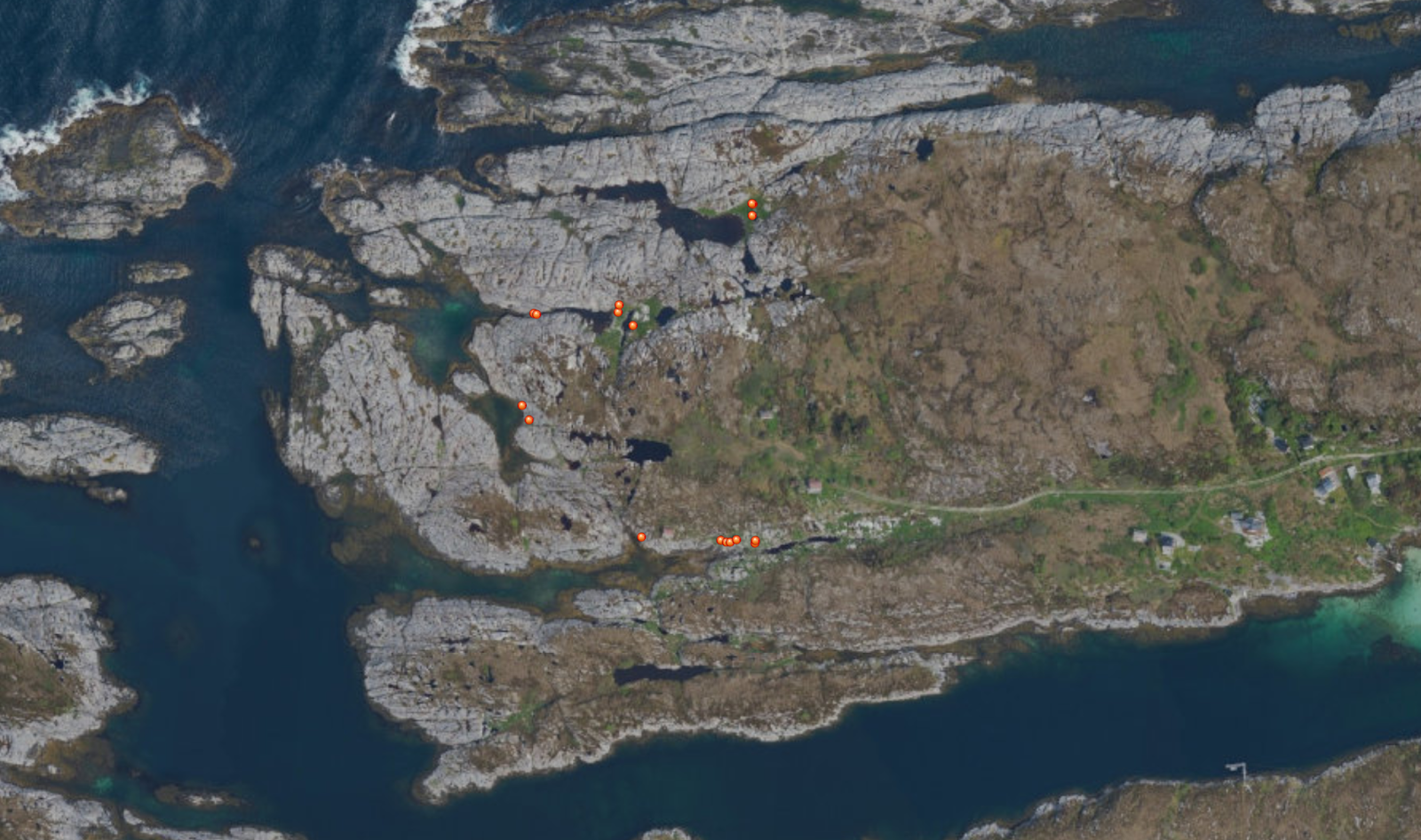
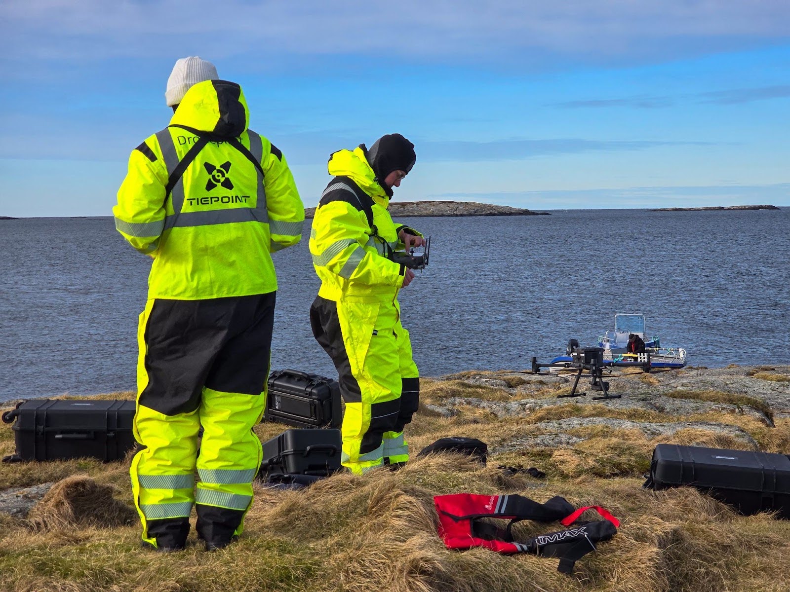
From data collection to operational decision support During the Frøya operation, drone operations quickly evolved from being a tool for visual inspection to becoming a central source of data-driven decision support. In a situation characterized by large geographical...
by Robert Holand | Mar 26, 2026 | News, Professional articles
How Norway’s largest drone operation was carried out It has now been one year since Norway’s largest drone operation was conducted. This is an article series about the Frøya operation, in which Tiepoint was involved. This article focuses on the operational aspects of...